

Backroad Maps
Backroad Maps Central Alberta Backroad Mapbook
Backroad Maps Central Alberta Backroad Mapbook
Couldn't load pickup availability
-
Craze Outdoors Advantage
- 5 - Star Google Reviews
- Free Shipping Over $100
- Same day shipping
- 30 Day Price Match
- Easy 30 Day Returns
Central Alberta Backcountry Maps (Backroad Mapbook) – Your Complete Adventure & Navigation Guide
Explore more of Central Alberta with the Backroad Mapbook – Central Alberta Backcountry Maps, a detailed, all-in-one guide for navigation, trip planning, and finding new places to get outside. From the Rocky Mountain parks in the west to the lakes and prairie country stretching toward Lac La Biche, it gives you the detail and practical usability to get out there with confidence.
Inside, you’ll find 69 detailed topographic maps at a 1:250,000 scale, covering highways, logging and resource roads, trails, campgrounds, and points of interest across the region.
Why You’ll Love It
- Industry-Leading Topographic Maps – Navigate backroads, resource roads, trails, and parks with precision
- Massive Regional Coverage – Includes Edmonton, Red Deer, Jasper, Hinton, Edson, Rocky Mountain House, Cold Lake, Lac La Biche & more
- All-in-One Adventure Guide – Hiking, camping, fishing, paddling, ATVing, hunting, snowmobiling & more
- Land Ownership at a Glance – Crown and private land shown right on the maps
- Updated 6th Edition Features – Labelled fish species, stocking charts, trail charts for major hiking areas, and new Overlanding content
- Durable Spiral-Bound Format – Built for rugged outdoor use (8.5" x 11")
Built for Real Alberta Exploration
This isn’t just a map. It’s a complete backcountry planning system. Central Alberta covers mountain parks, boreal lakes, and wide-open prairie, and this guide helps you find your way through all of it.
The book includes:
400+ lake and river fishing listings with species and method info
234 park listings with access and camping details
200+ multi-use trail listings for hiking, biking, skiing & more
79 paddling routes with put-in and take-out locations
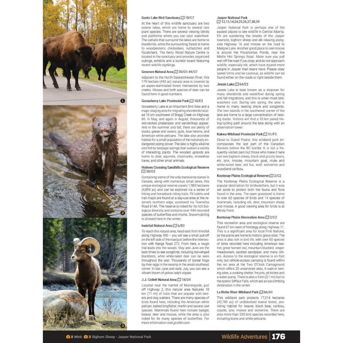
Hunting guidance, WMU listings, ATV and snowmobile areas, wildlife viewing sites, and winter recreation
Whether you’re planning a weekend away or a full expedition, it gives you both navigation and inspiration in one tool.
Perfect For:
Hiking • Fishing • Hunting • Camping • Paddling • ATV & Overlanding • Snowmobiling • Trip Planning
Explore Central Alberta with Confidence
From the mountain parks near Jasper to the lakes around Cold Lake and everything in between, the Central Alberta Backroad Mapbook is your go-to resource for navigating, planning, and discovering your next outdoor adventure.
Features
Features
Specifications
Specifications