


Backroad Maps
Backroad Maps Peter Lougheed Provincial Park Alberta Map
Backroad Maps Peter Lougheed Provincial Park Alberta Map
Couldn't load pickup availability
-
Craze Outdoors Advantage
- 5 - Star Google Reviews
- Free Shipping Over $100
- Same day shipping
- 30 Day Price Match
- Easy 30 Day Returns
Peter Lougheed Provincial Park Map (Alberta) – Detailed Kananaskis Navigation & Adventure Guide
Built for Kananaskis Country Adventures
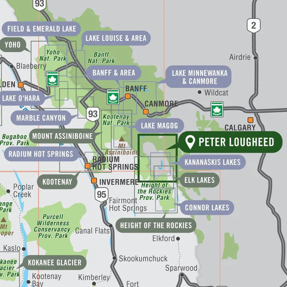
Located about 90 km west of Calgary, Peter Lougheed Provincial Park is one of Alberta’s largest and most popular mountain parks, centered around the Kananaskis Lakes and surrounding peaks.
Covering Peter Lougheed Provincial Park and the surrounding area, this topographic recreation map highlights all the highways, access roads, campsites, trails for hiking, cross-country skiing, mountain biking, horseback riding and snowshoeing, fishing lakes and rivers, viewpoints, waterfalls, paddling routes, picnic areas, backcountry huts and cabins and more! Using 1:50,000 scale data, this map features topographic contours and relief shading.
Included on the map are Upper and Lower Kananaskis Lakes, Burstall Pass, Elbow Pass, Elk Pass, Fortress Ski Area, Great Divide Trail, Headwall Lakes, Highwood Pass, Kananaskis River, Mount Lawson, Mount Murray, Mount Sarrail, Smith Dorrien Creek, Three Isle Lake, and more!
Whether you're planning a day hike or a multi-day backcountry trip, it provides clear route visibility and essential terrain context.
Perfect For
Hiking • Backpacking • Camping • Fishing • Paddling • Cross-Country Skiing • Trip Planning
Explore Kananaskis with Confidence
From alpine passes to lakeside campsites, the Peter Lougheed Provincial Park Map is an essential tool for navigating and discovering the best of Kananaskis—helping you plan smarter and explore deeper on every trip.
Features
Features
Why You'll Love This
Why You'll Love This
Specifications
Specifications