
GemTrek
GemTrek Lake O'Hara Trail Map
GemTrek Lake O'Hara Trail Map
Couldn't load pickup availability
-
Craze Outdoors Advantage
- 5 - Star Google Reviews
- Free Shipping Over $100
- Same day shipping
- 30 Day Price Match
- Easy 30 Day Returns
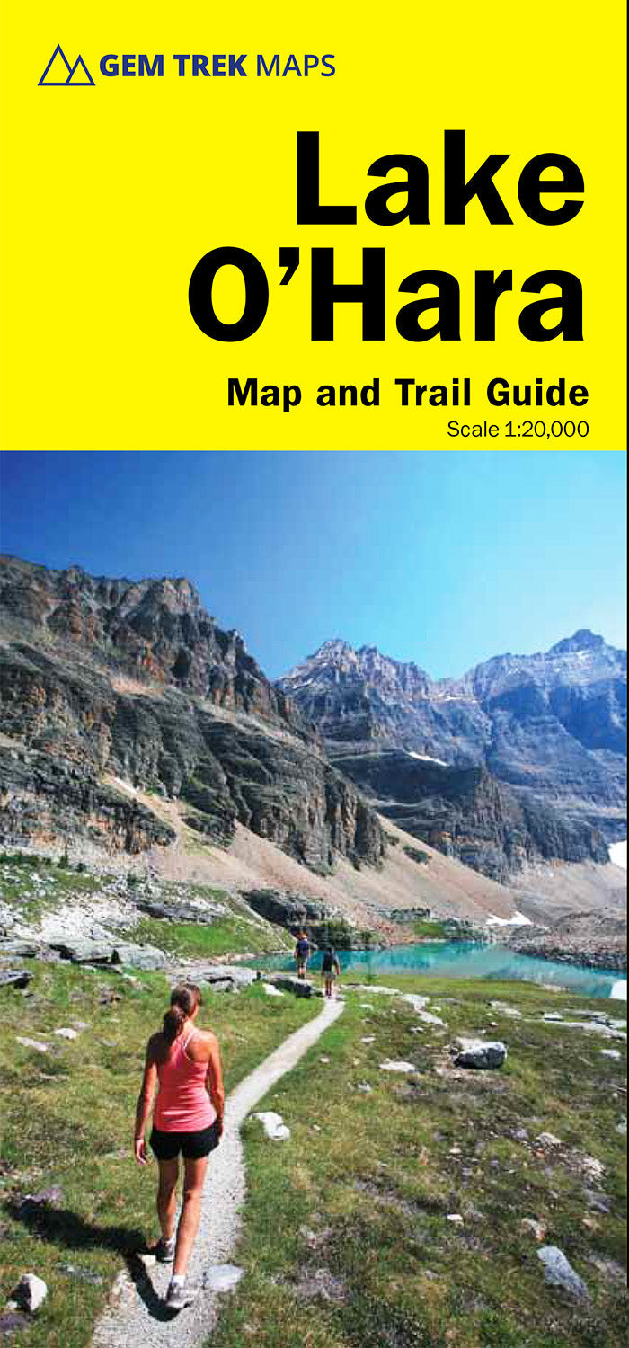
Gem Trek’s LAKE O'HARA MAP is designed for visitors looking to explore one of the finest backcountry destinations in all of the Canadian Rockies. Reaching Lake O’Hara, in Yoho National Park, requires advance planning—and we help you with that, as well as showing all hiking opportunities in the region.
This map features detailed cartography, accurate hiking trails, and all the most significant natural features of the region. On the back are descriptions of the most popular hiking trails—with special emphasis given to the Lake O’Hara Alpine Circuit—as well details of services and transportation.
Lake O'Hara Map Coverage
The Lake O’Hara Map covers the entire Lake O’Hara region, from Duchesnay Basin the west to the highest peaks of the Continental Divide in the east and from the access road in the north to Lake McArthur in the south.
Popular hiking trails on Lake O’Hara map include Lake O'Hara Lakeshore, Lake Oesa, Lake McArthur, Opabin Plateau, Linda Lake, Cathedral Prospect, and the Lake O’Hara Alpine Circuit.
Features
Features
Specifications
Specifications
