
GemTrek
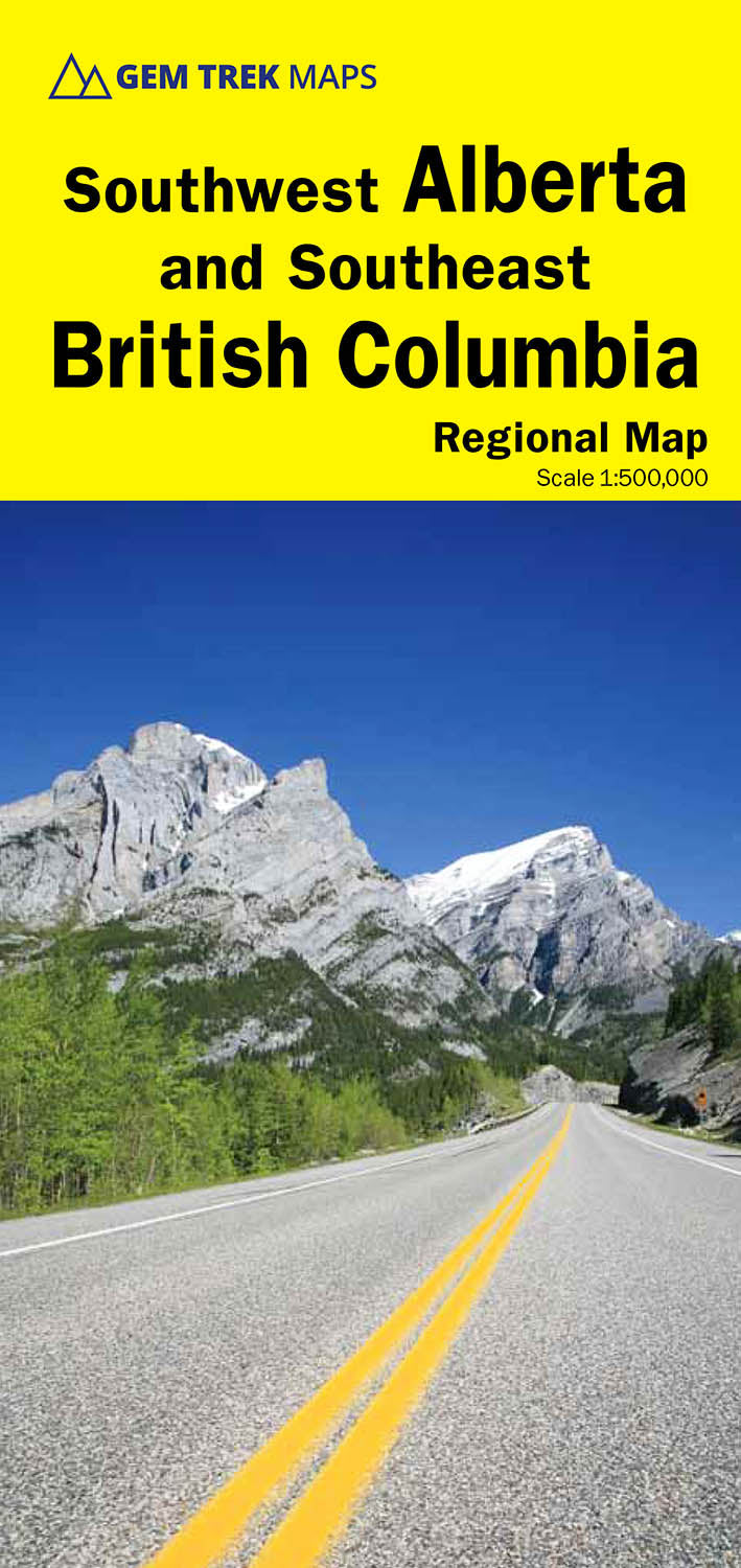
GemTrek Southwest Alberta & Southeast B.C. Map (7th Edition)
GemTrek Southwest Alberta & Southeast B.C. Map (7th Edition)
Couldn't load pickup availability
-
Craze Outdoors Advantage
- 5 - Star Google Reviews
- Free Shipping Over $100
- Same day shipping
- 30 Day Price Match
- Easy 30 Day Returns
Gem Trek’s SOUTHWEST BRITISH COLUMBIA & NORTHERN WASHINGTON MAP is designed for visitors looking to explore the lower mainland of British Columbia and the northern section of Washington state.
All the major highways are shown, as well as national, provincial, and state parks and wilderness areas. The map also shows lesser-known back roads, and pinpoints the location of lodges, campgrounds and hot springs. Mileage charts on the front and back provide distances between major towns and cities.
Southwest BC and Northern Washington Map Coverage
The Southwest British Columbia & Northern Washington Map covers all of Vancouver Island and extends west through the city of Vancouver and the Okanagan Valley to the Kootenays. South of the border, Washington state is covered from the Gulf Islands in the west to Spokane in the east, with coverage as far south as Mount Rainer National Park.
Features
Features
Specifications
Specifications